Strategic Pivot: Tesla Develops Proprietary Mapping Architecture for FSD
After years of dismissing high-precision data as brittle, Tesla is leveraging its fleet to build internal maps that address critical navigation and safety gaps in its autonomous driving software.
By Arjun Patel ·
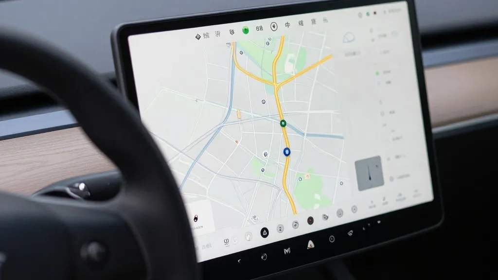
Tesla has officially confirmed it is developing a proprietary mapping system to resolve persistent errors in its Full Self-Driving (FSD) software, including inaccuracies in speed limit recognition, route selection, and parking. This announcement, made by AI Vice President Ashok Elluswamy during the Q3 2026 earnings call, marks a significant departure from the company’s historical stance. For years, leadership argued that reliance on detailed maps made autonomous systems fragile, favoring a pure vision-based approach. By now constructing its own map layer, Tesla is adopting a methodology similar to that of Waymo, where a fleet of vehicles collects data to define the driving environment for the entire network.
The shift follows a long history of internal debate regarding the necessity of maps. When Autopilot launched in 2015, Tesla initially promised high-precision mapping with extreme granularity. However, during its 2019 Autonomy Day, CEO Elon Musk reversed course, declaring that high-precision lane maps were a "huge mistake" and a "really bad idea." At the time, he characterized the use of lidar and detailed maps as a "fool’s errand" and a crutch, positioning Tesla’s camera-only system as the superior, general solution for driving anywhere. This new strategy effectively undoes that seven-year-old argument, acknowledging that the vision system alone has not been sufficient to interpret the road environment reliably.
The immediate motivation for this change stems from recurring user complaints and safety concerns. A recent review by a Belgian road safety group found that FSD vehicles exceeded speed limits in 55% of 30 km/h zones in Brussels, often because the interface displayed incorrect data. Simultaneously, the U.S. National Highway Traffic Safety Administration is considering an investigation into Tesla Robotaxis speeding through school zones. These incidents highlight a fundamental gap: if an end-to-end vision system cannot reliably read simple regulatory signs, the addition of a dedicated map layer is necessary to ensure the vehicle understands its surroundings.
Operationally, this means Tesla’s vehicle fleet is now functioning as a continuous data-collection network. Much like Waymo, which drives sensor-equipped cars through cities to build and update its maps, Tesla will use its existing customer base to feed a new AI-based navigation architecture. This system will not only handle standard routing but will also learn individual driver preferences and respond to voice commands. The technology will initially debut in FSD version 15, focusing on the start and end of trips, before expanding to cover full navigation and parking in the coming months.
Looking ahead, this development brings Tesla closer to the geofenced, map-dependent model it once criticized. While the company maintains that its new maps are distinct from the high-definition lidar maps of its competitors, the functional outcome is similar: a fleet-built map that improves with every mile driven. As Tesla pushes toward unsupervised FSD for consumer vehicles in the second quarter of 2027, this infrastructure will be critical. The company is essentially admitting that a decade into its self-driving effort, the most reliable path to autonomous driving requires the very tools it previously dismissed as brittle.
Source: Electrek